GCensus
GISWiki - Das freie Portal für Geoinformatik (GIS)
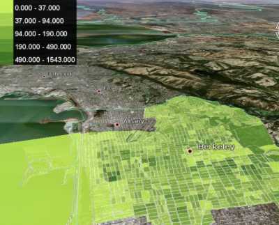
gCensus is an effort to make geographic data freely and easily accessible to the public, without the need for expensive GIS software packages. With Google's mapping program Google Earth, people can use gCensus to visualize a wide variety of data best displayed on a map.
Currently (March 2007), only the US Census 2000's Summary File 1 (displaying population characteristics such as race and age) is available for mapping.
